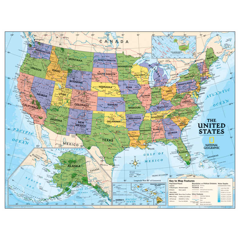
National Geographic Kids Political USA Education: Grades 4-12 Wall Map, Laminated
Description
Political map of the United States for grades 4-12. National Geographic’s graded-series of maps are the first to address the unique needs of K-12 students as they advance their understanding of our World.
Unlike other classroom poster maps, the world maps use the Winkel-Triple projection, which provides the best combination of size, shape, and distance giving the student the best visual representation of the Earth’s surface in two dimensions. This solves the effect seen on other maps where Greenland appears larger than South America.
Our Political Series, grades 4-12, has up-to-date World and U.S. maps, increasing the detail of information for the teacher and student to utilize. Measures 51″ x 40″. Scale 1:4,288,000. Laminated.
Additional information
| Weight | 0.66 lbs |
|---|---|
| Dimensions | 39.00 × 4.00 × 4.00 in |
You must be logged in to post a review.
Specifications
Unit of Measure: EachCountry of Origin: USA
Color: Multi
Material: Laminted Paper
Product Size: 40" x 51"
Package Contains: 1 Map
Package Count: 1
Barcode: 9781597753890
ISBN Manufacturer Reference: 9781597753890
HTS USCode: 4905000000
Related products
-
Evan-Moor Educational Publishers Building Spelling Skills, Teacher’s Edition, Grade 6
$24.99 Add to cart -
Evan-Moor Educational Publishers Daily Paragraph Editing Book, Grade 5
$25.99 Add to cart -
Evan-Moor Educational Publishers Grammar & Punctuation, Teacher Reproducibles, Grade 3
$22.99 Add to cart -
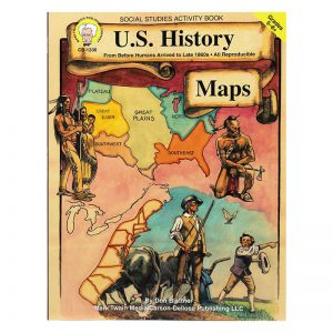
Mark Twain Media U.S. History Maps Resource Book, Grade 5-8, Paperback
$13.99 Add to cart


Reviews
There are no reviews yet.