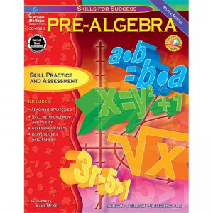
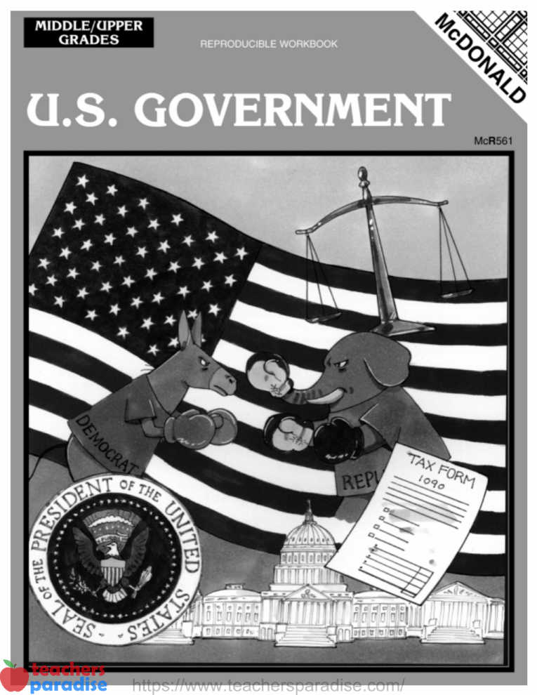
Basic Skills and Beyond Series – Map Skills for Grade 5
Supports National Geography Standards
Includes:
- map and globe skills
- map symbol recognition
- geographic terminology
- end-of-book test
- reproducible certificate
WORKSHEET & Sample PDF Activity
Sample PDF Activity
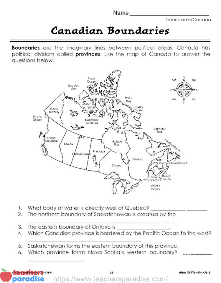
Canadian Boundaries
Boundaries are the imaginary lines between political areas. Canada has political divisions called provinces. Use the map of Canada to answer the questions below.
- What body of water is directly west of Quebec?
- The northern boundary of Saskatchewan is created by the _.
- The eastern boundary of Ontario is _.
- Which Canadian province is bordered by the Pacific Ocean to the west?
- Saskatchewan forms the eastern boundary of this province.
- Which province forms Nova Scotia’s western boundary? _.
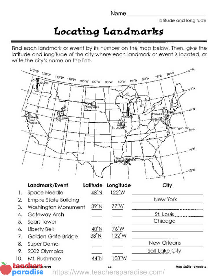
Map Skils – Grade 5 Latitude and Longitude – Locating Landmarks
Find each landmark or event by its number on the map below. Then, give the latitude and longitude of the city where each landmark or event is located, or write the city’s name on the line.
Landmark/Event Latitude Longitude
- Space Needle
- Empire State Building
- Washington Monument
- Gateway Arch
- Sears Tower
- Liberty Bell
- Golden Gate Bridge
- Super Dome
- 2002 Olympics
- M. Rushmore
